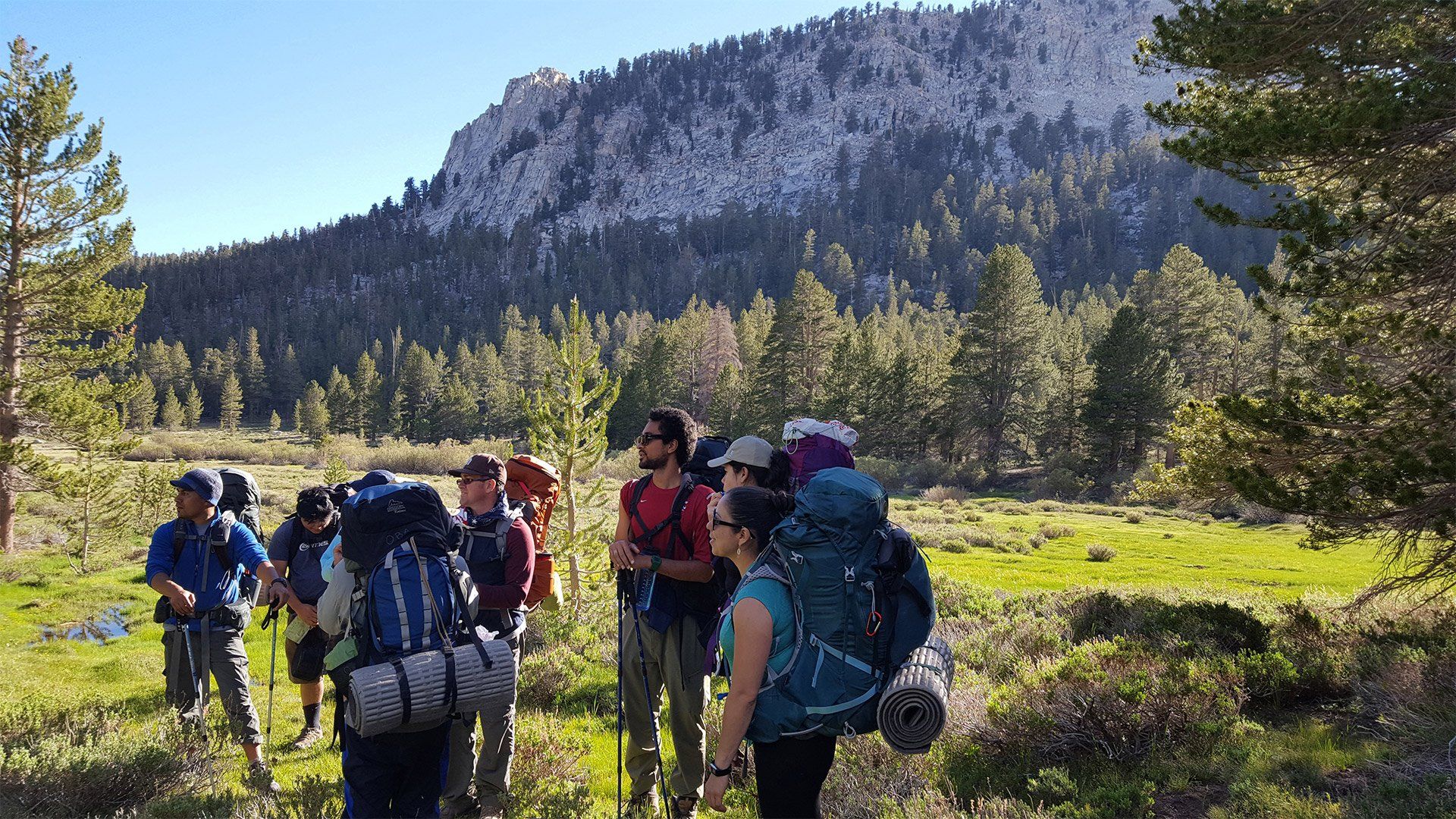
Adventures
Join an adventure!
Embark on an unforgettable journey with us! Dive into a world of discovery, challenges, and unforgettable experiences.


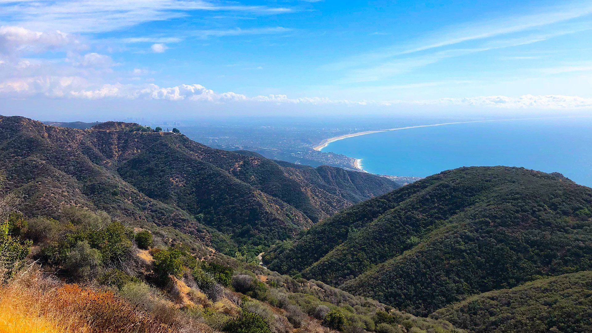
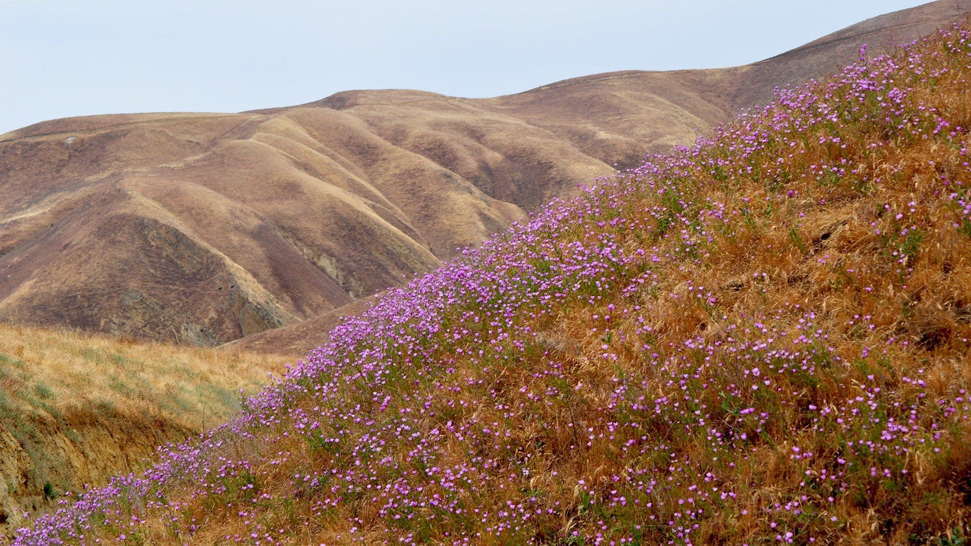
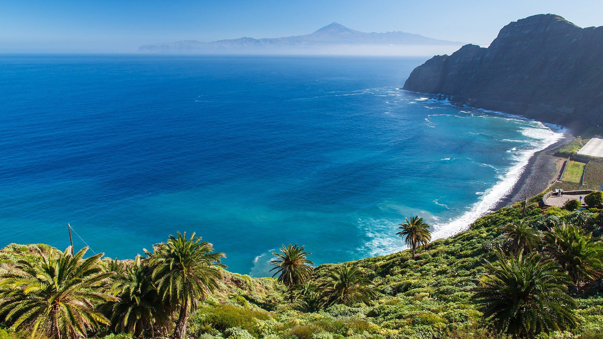
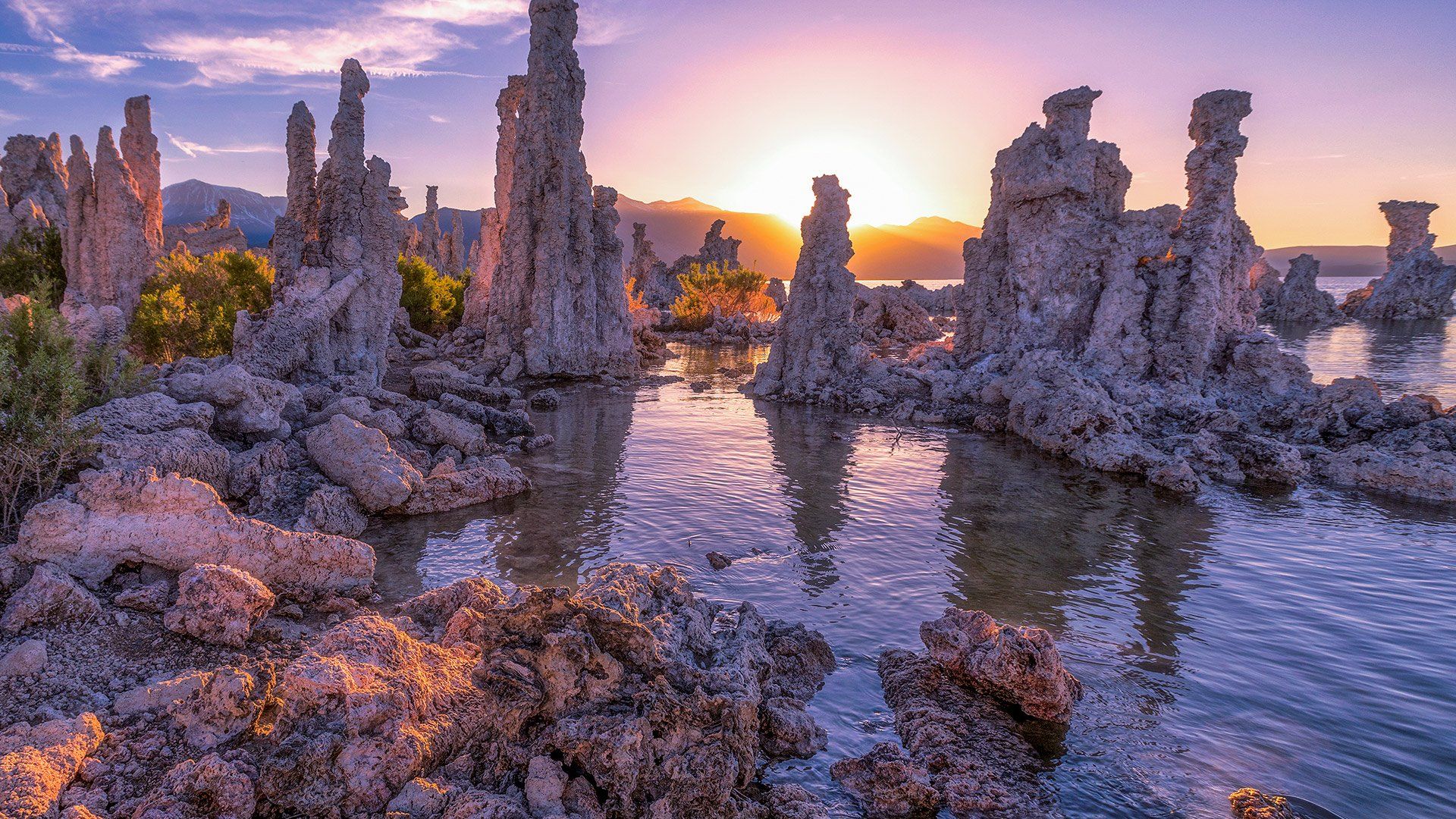
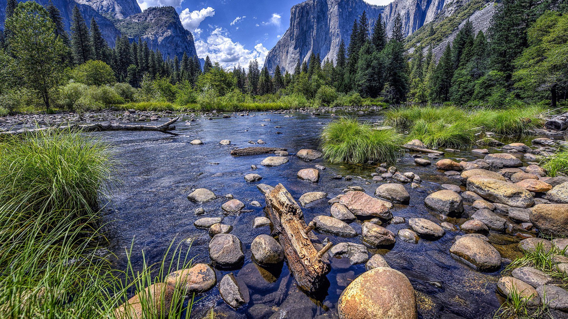
Mediterranean California
A Mediterranean-style climate—with rainy, mild winters and dry summers—coupled with an eclectic geologic history has produced a greater variety of plant and animal species in this region than anywhere else in the nation. Referred to as “an island called California” for its distinctive ecology, the Golden State harbors more than 1,200 unique species. Rampant development has consumed large areas of native habitat, imperiling dozens of these plants and animals.
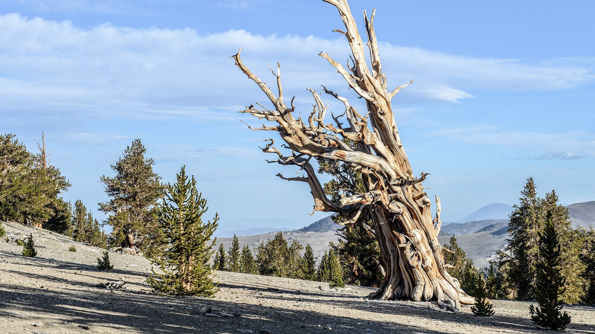
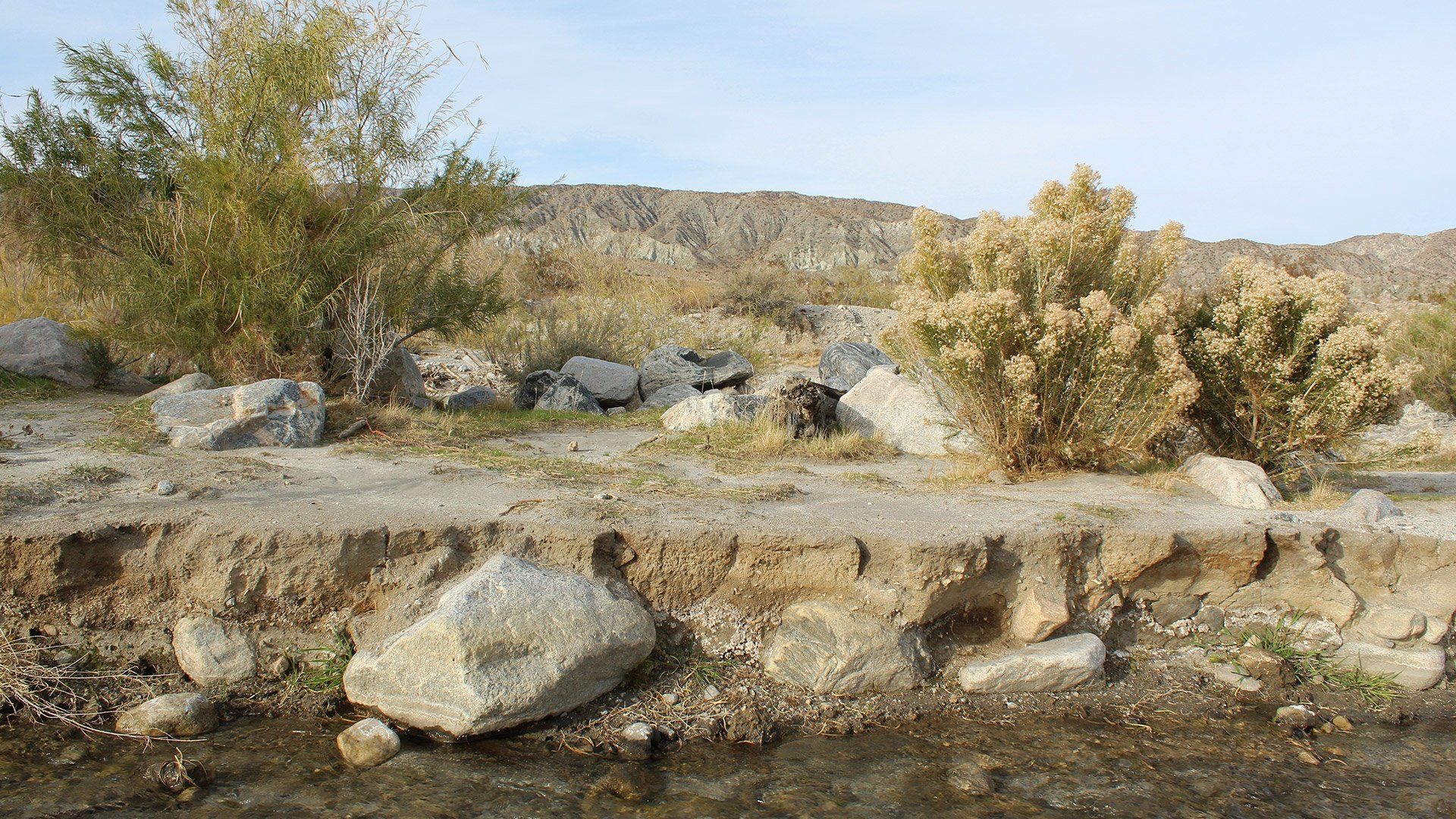
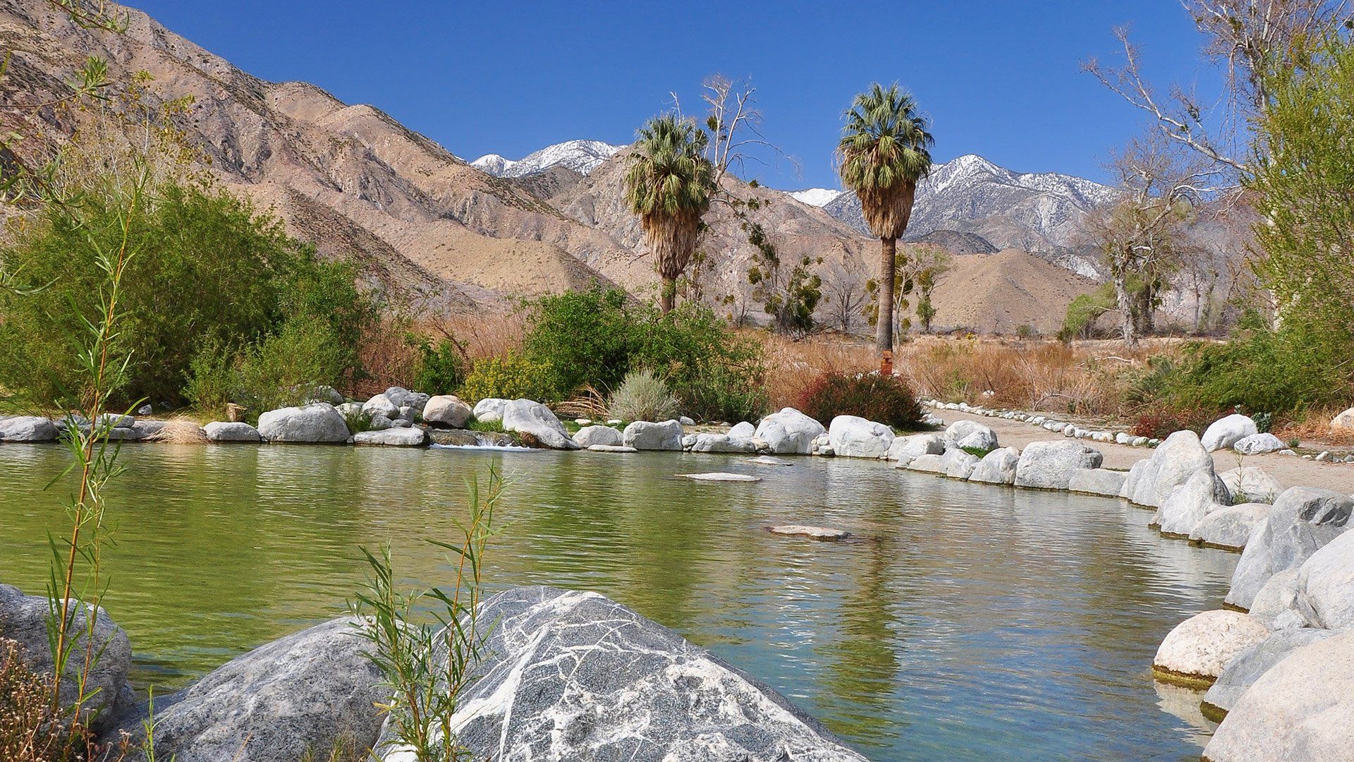
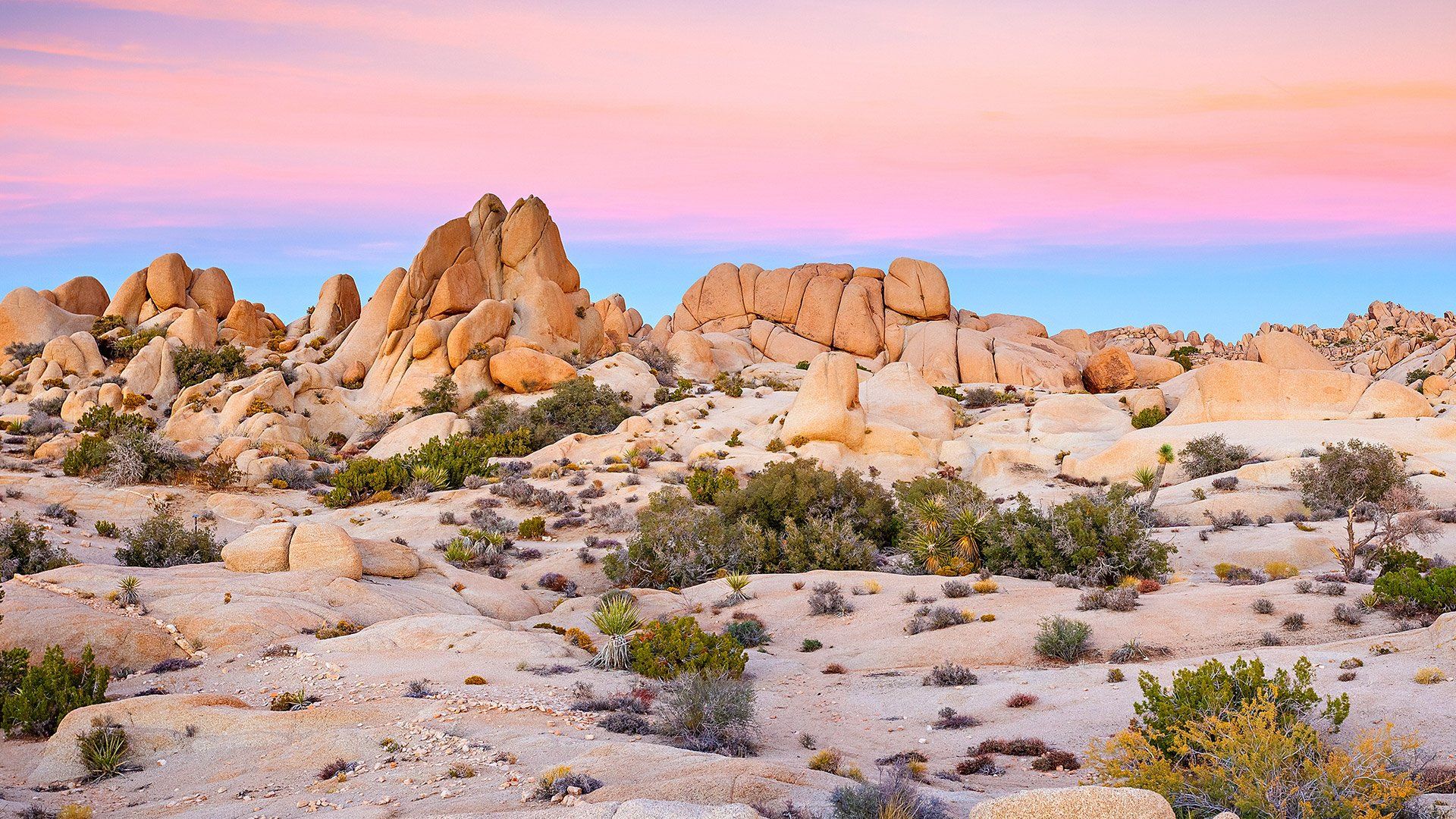
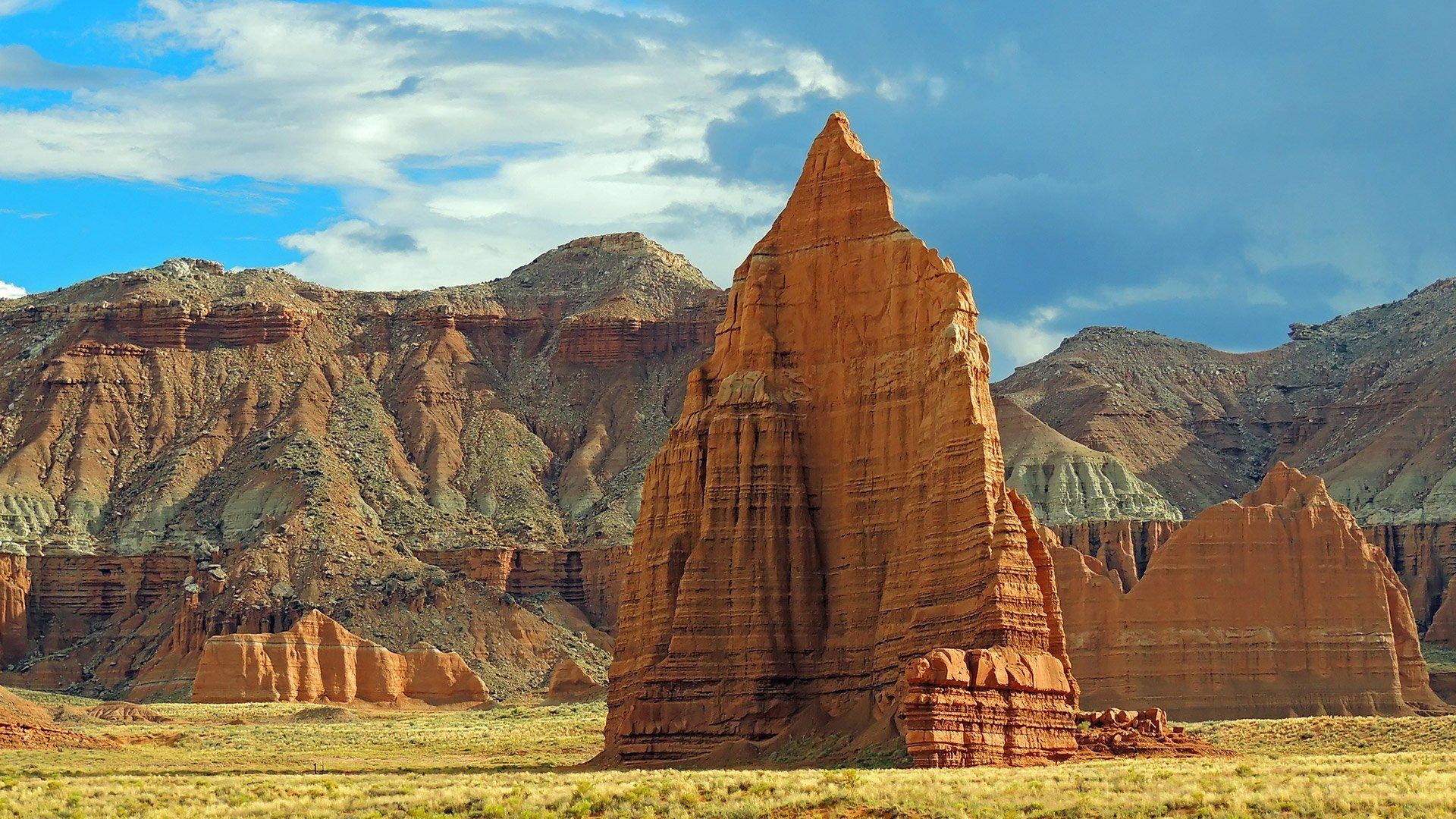
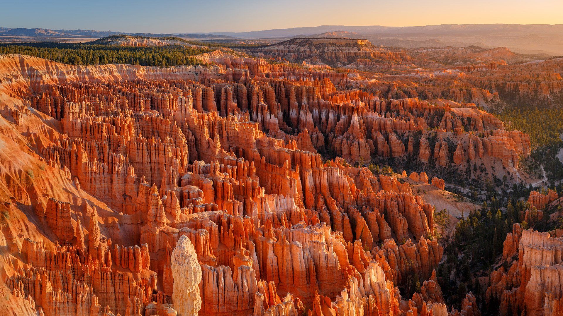
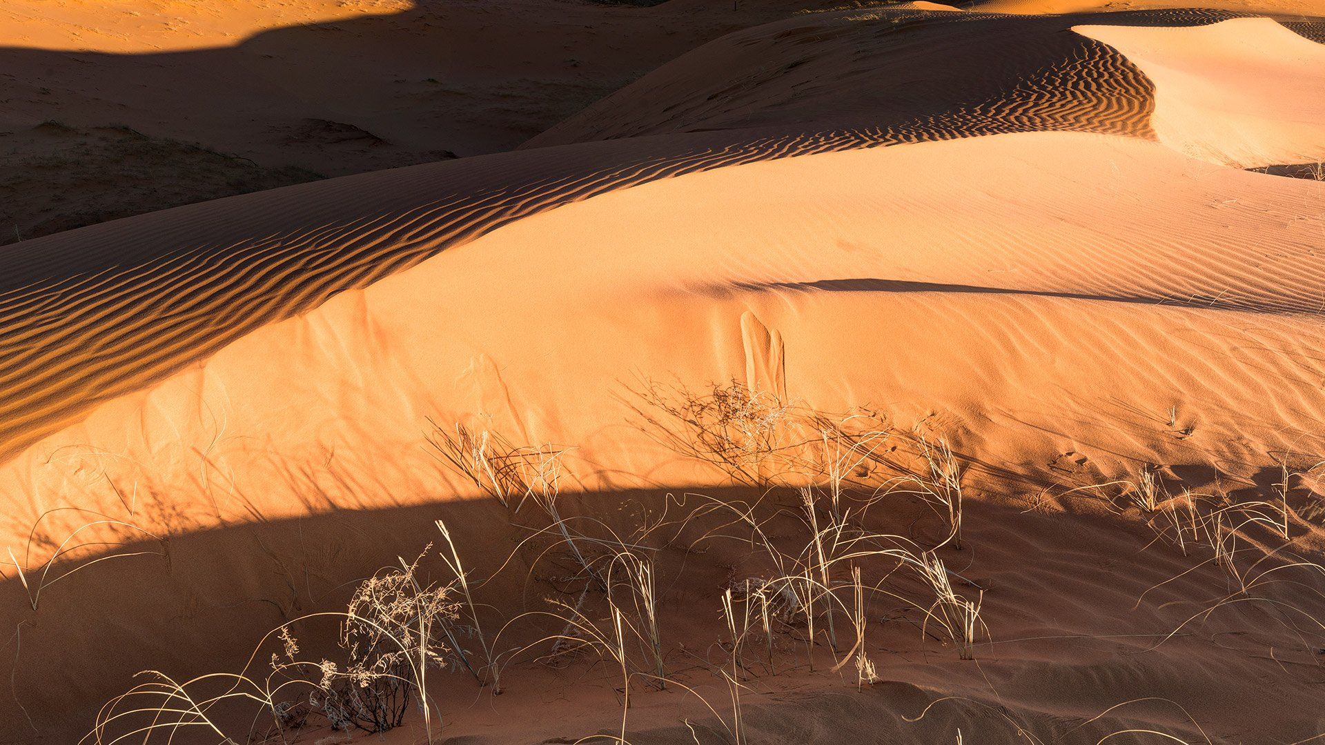
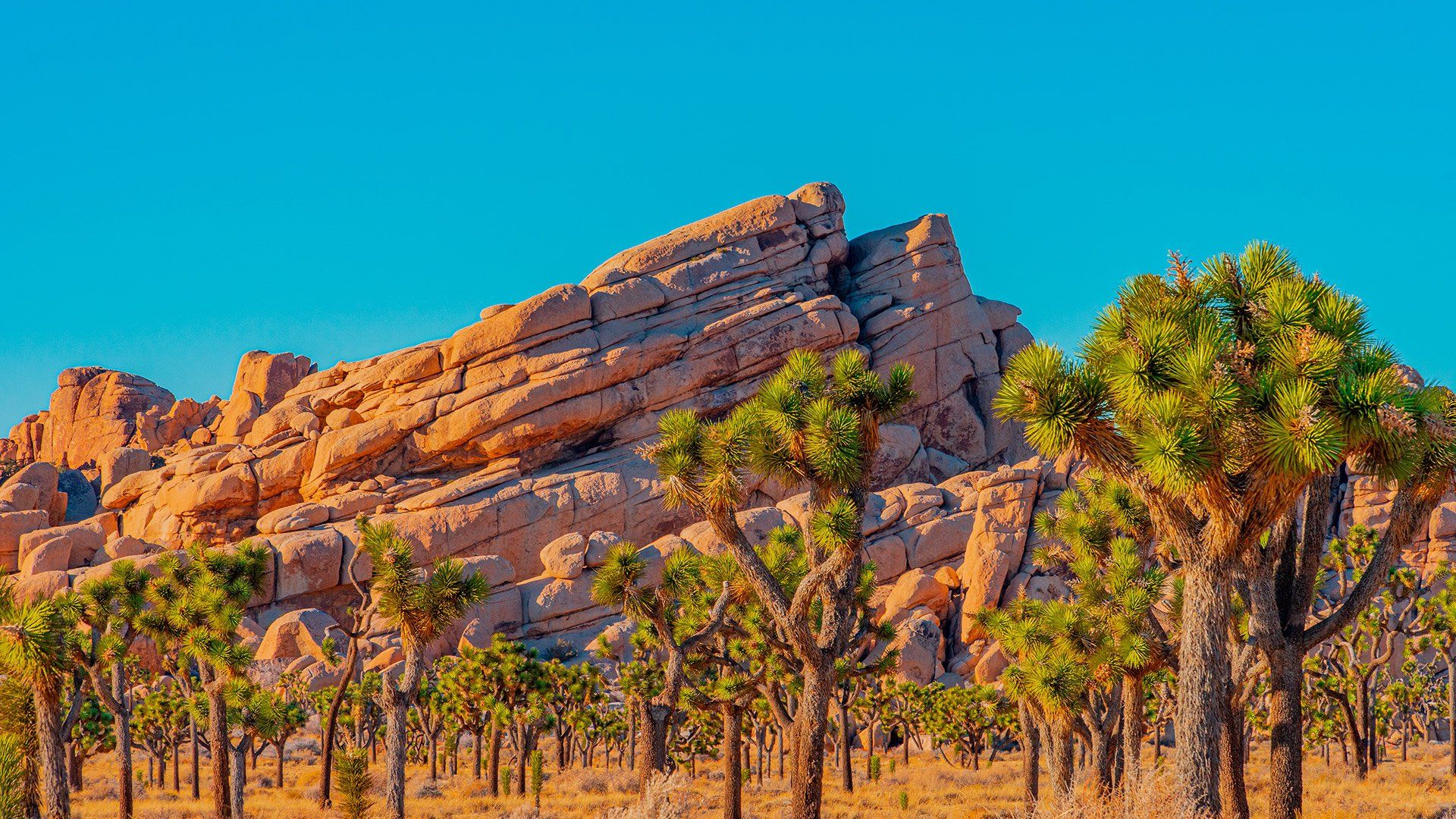
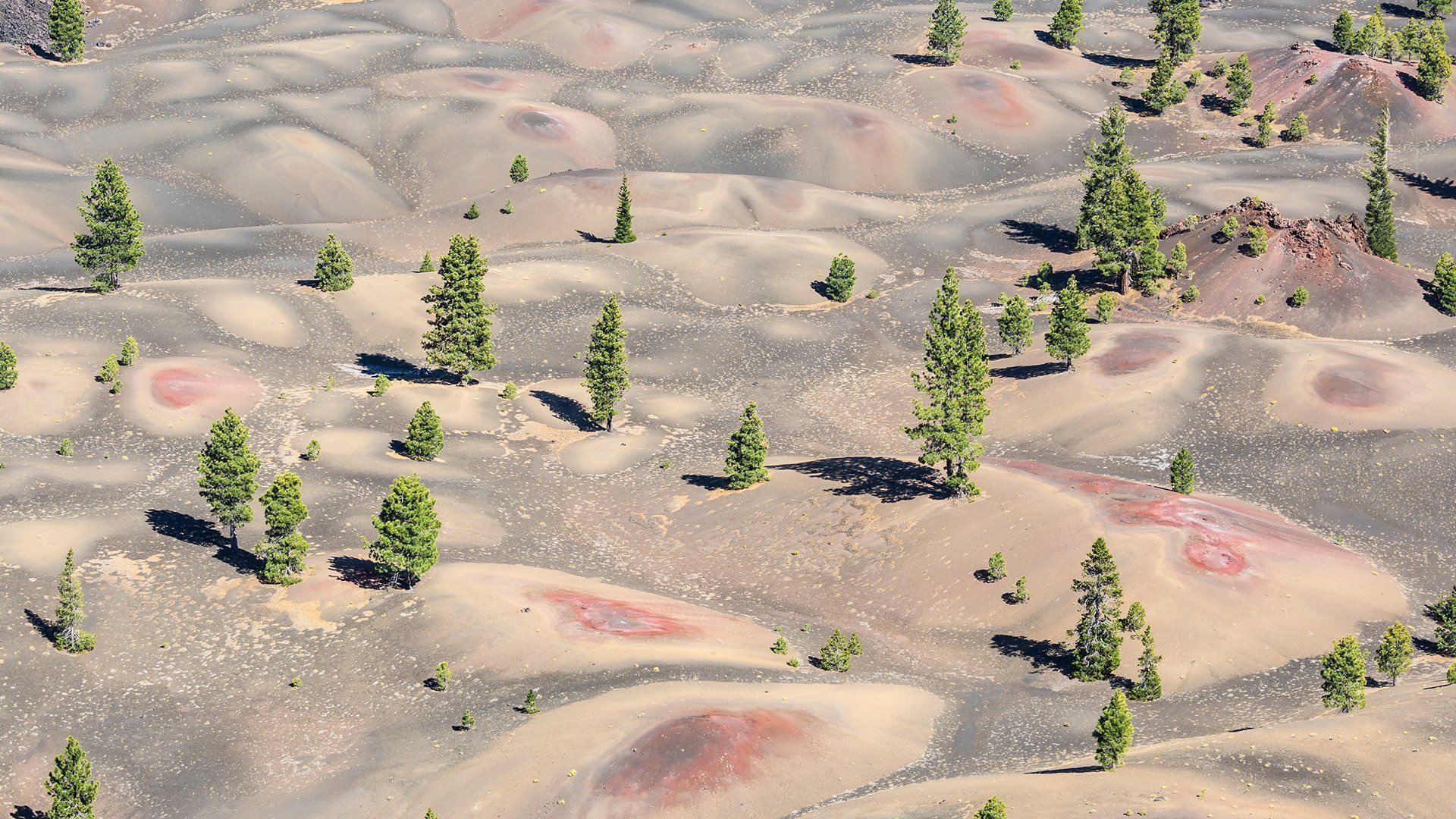
North American Deserts
North America has four major deserts: Great Basin, Mohave, Chihuahuan and Sonoran. Outward Bound Adventures most often visits the Mojave Desert, which is characterized largely by its winter rainy season. Hard freezes are common. The perennial vegetation is composed mostly of low shrubs; annuals carpet the ground in wet years. The only common tree species is the characteristic joshua tree (Yucca brevifolia), a treelike yucca that forms extensive woodlands above 3000 feet elevation.
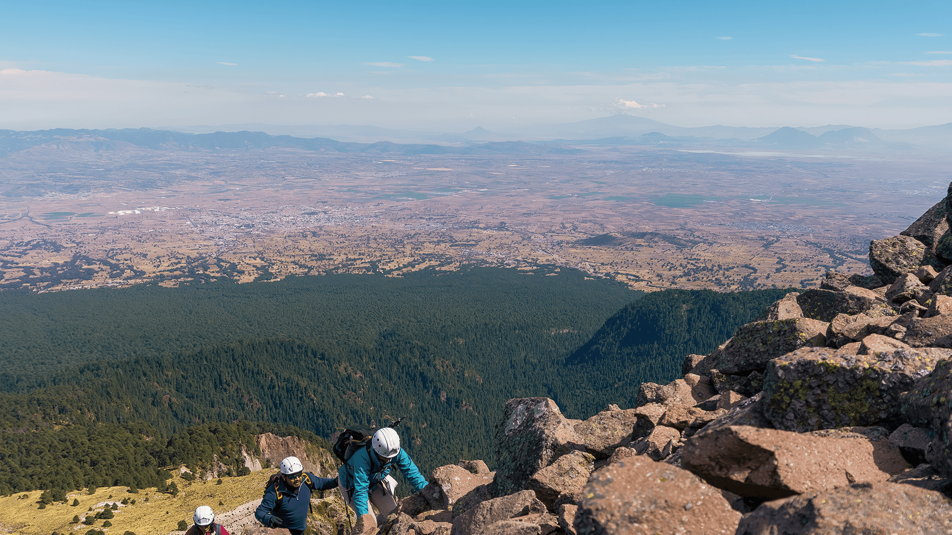
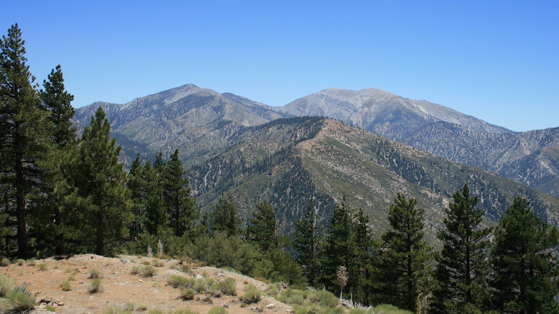
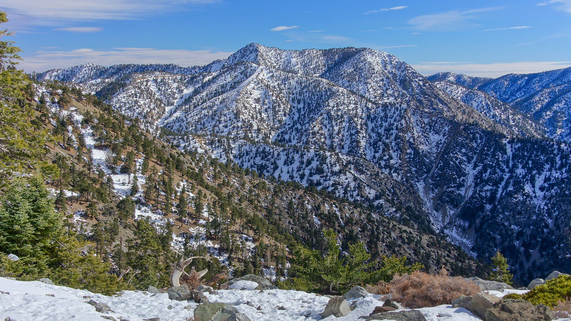
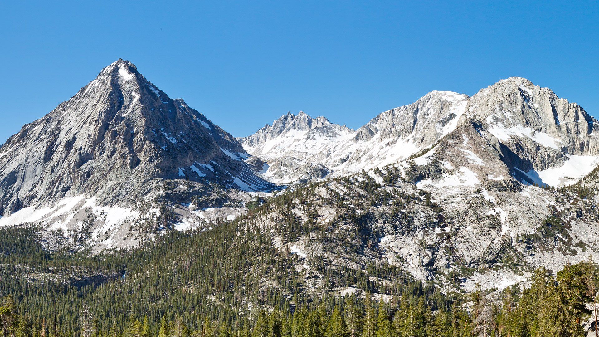
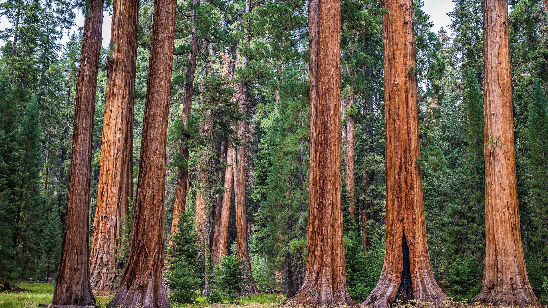
Northwestern Forested Mountains
The Northwestern Forested Mountains are ecologically diverse and geographically widespread, encompassing the mountain ecosystems of central and northwestern North America. Geographically, they extend from the Rocky Mountains and the Sierra Nevada north through the Siskiyous, the east side of the Cascade Range, and then east of the Coast Ranges to interior Alaska. Climatically, the region is characterized by a transition from a moist, maritime climate in the northwest, to a continental and drier climate in the Rockies in the southeast.
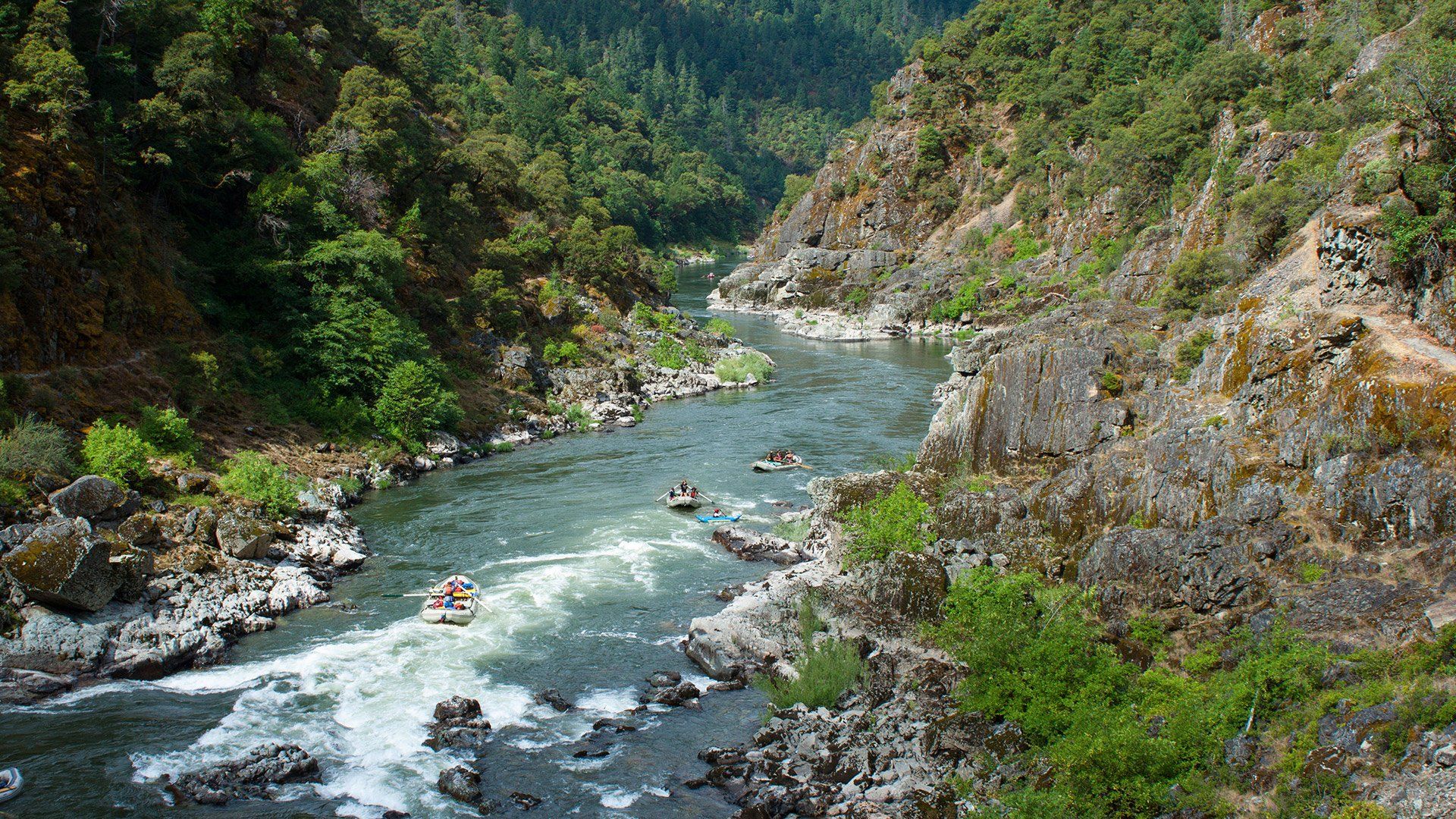
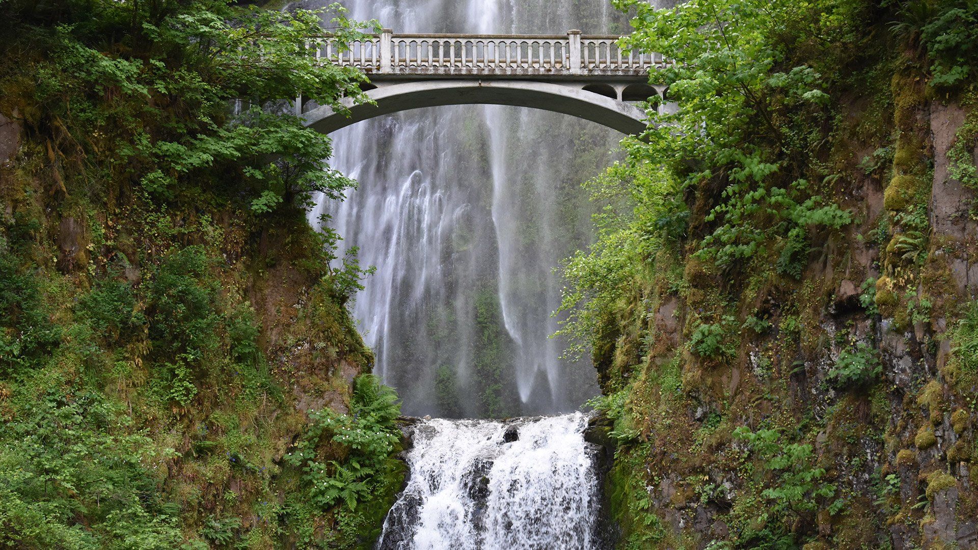
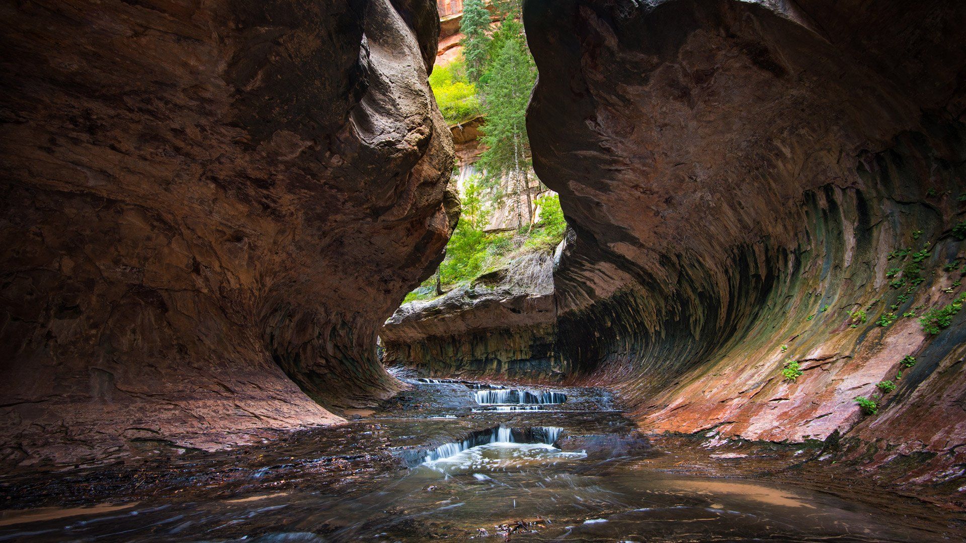
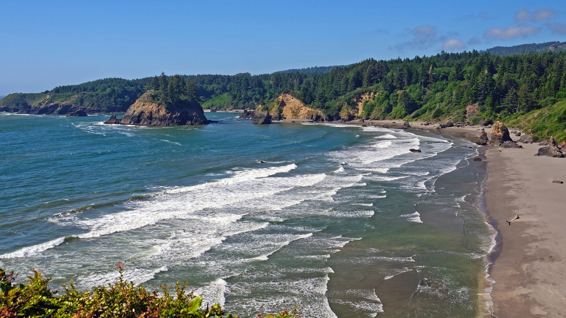
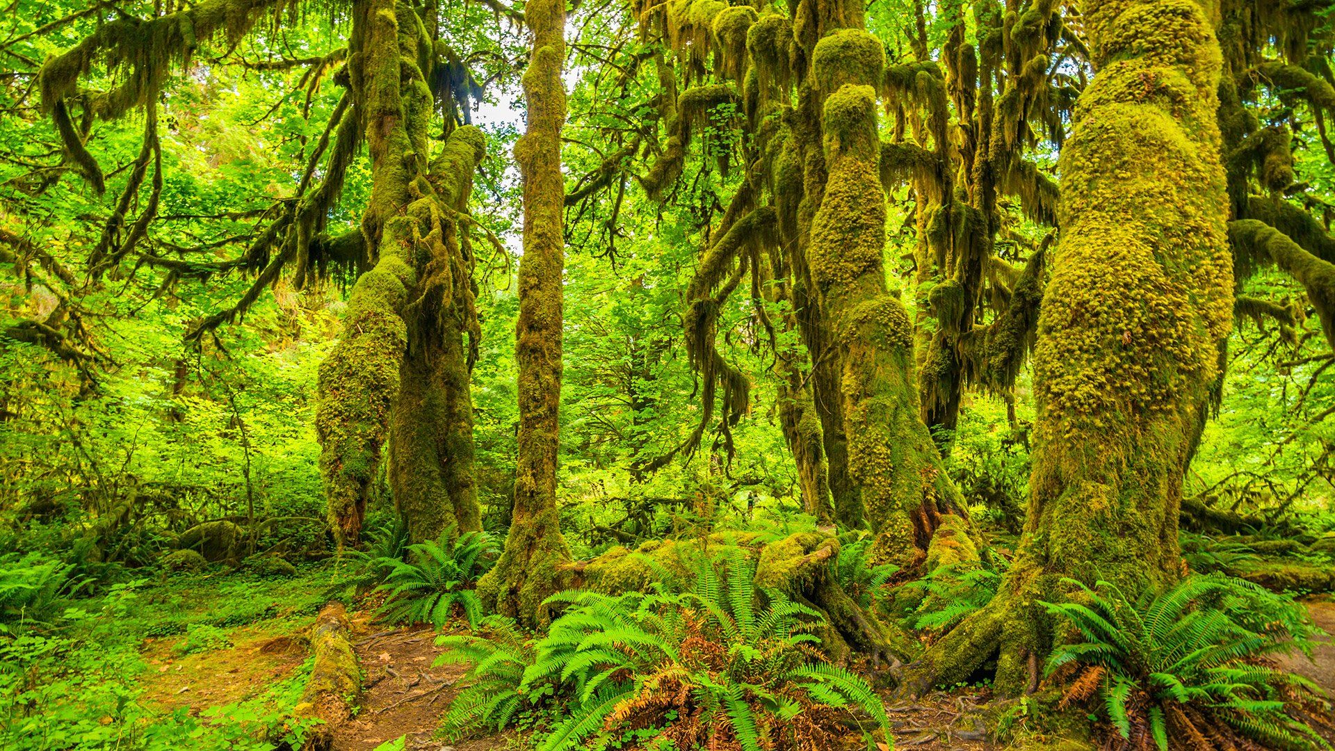
Marine West Coast Forest
The Marine West Coast is a biome characterized by a mild climate with high rainfall and humidity. In North America, this ecoregion is limited to a small band along the ocean in the Pacific Northwest, from northern California up through Alaska's coast. The presence of steep mountains along North America's west coast leads to a relatively sharp transition from this region into the more climatically-variable Northwest Forested Mountains, as well as deserts in the rain shadow of these mountains.
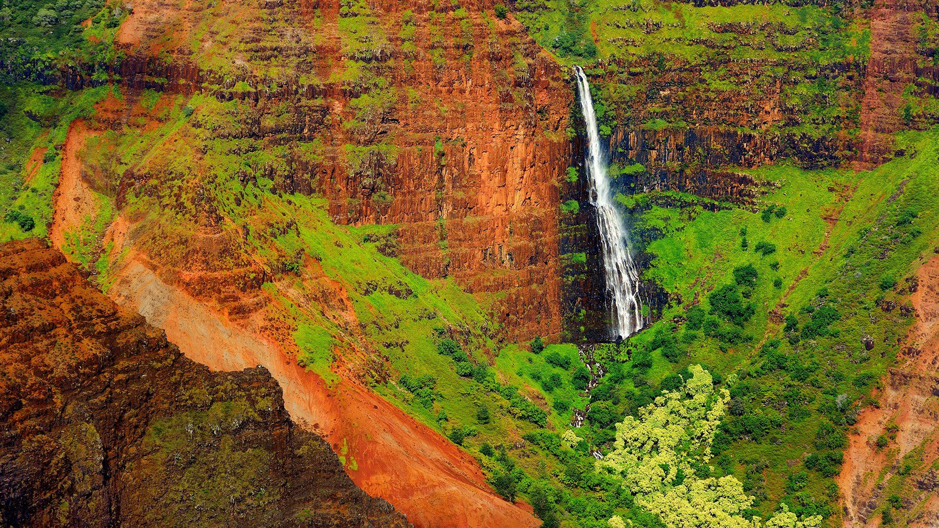
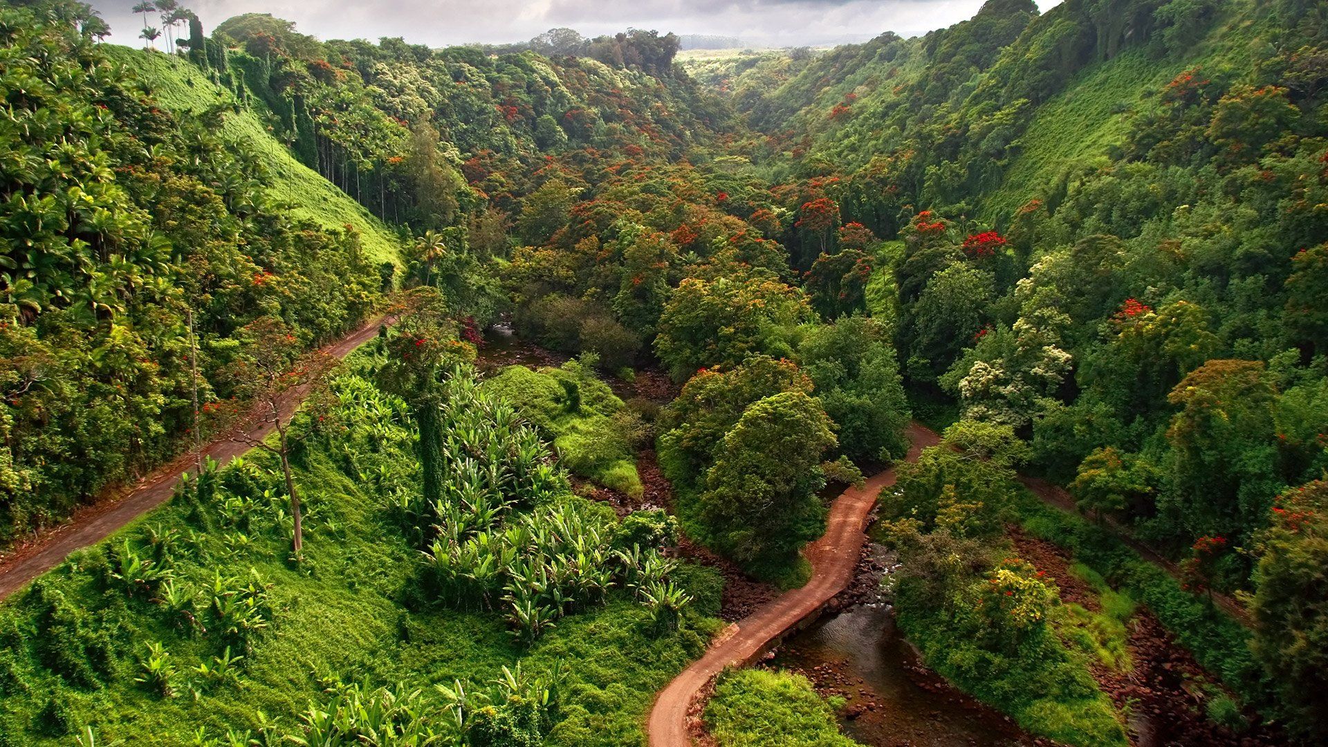
Tropical Wet Forest
Tropical rainforests are the most biologically diverse terrestrial ecosystems in the world. Sunlight strikes the tropics almost straight on, producing intense solar energy that keeps temperatures high, between 70° and 85°F, and keeps the air humid. Tropical rainforests are so warm and moist that they produce as much as 75% of their own rain through evaporation and transpiration. Such ample sunlight and moisture are the essential building blocks for tropical rainforests’ diverse flora and fauna. Roughly half of the world’s species can be found here.
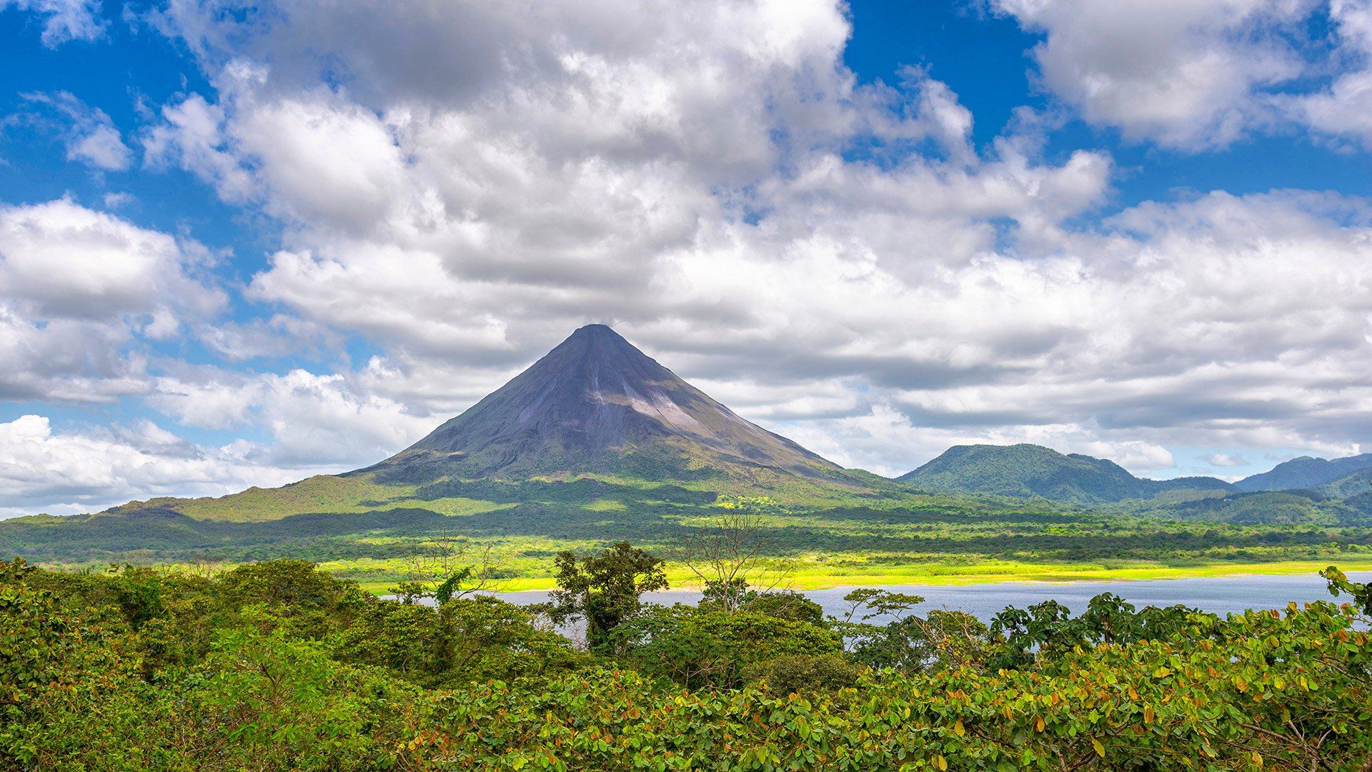
Tropical Dry Forest
Tropical Dry Forests, also called tropical deciduous forests, are characterized by open woodlands in tropical areas that have a long dry season followed by a season of heavy rainfall. Tropical dry forests are often found north and south of the world’s tropical rainforests. With a dry season that lasts six or more months, the climate is significantly more seasonal than that of a rainforest. The trees usually shed their leaves during the dry season and come into leaf at the start of the rainy season.